Using Maps
Governments; ISPs
This guide explains how to use Mapping, which is a great way to visualise your network performance data in a geographical context.
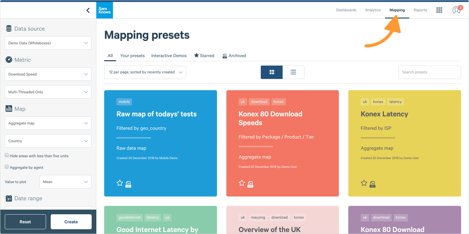
1. In ConnectedHome, select Mapping in the navigation bar at the top right-hand corner of your screen. You will then see the Map Builder on the left and pre-saved maps on the right.
2. If you have access to multiple data sources then select the Data Source in the Chart Builder. If you only have one data source, you don’t need to do this.
Tip: Mobile, Whitebox, and CPE Agents are treated as separate data sources.

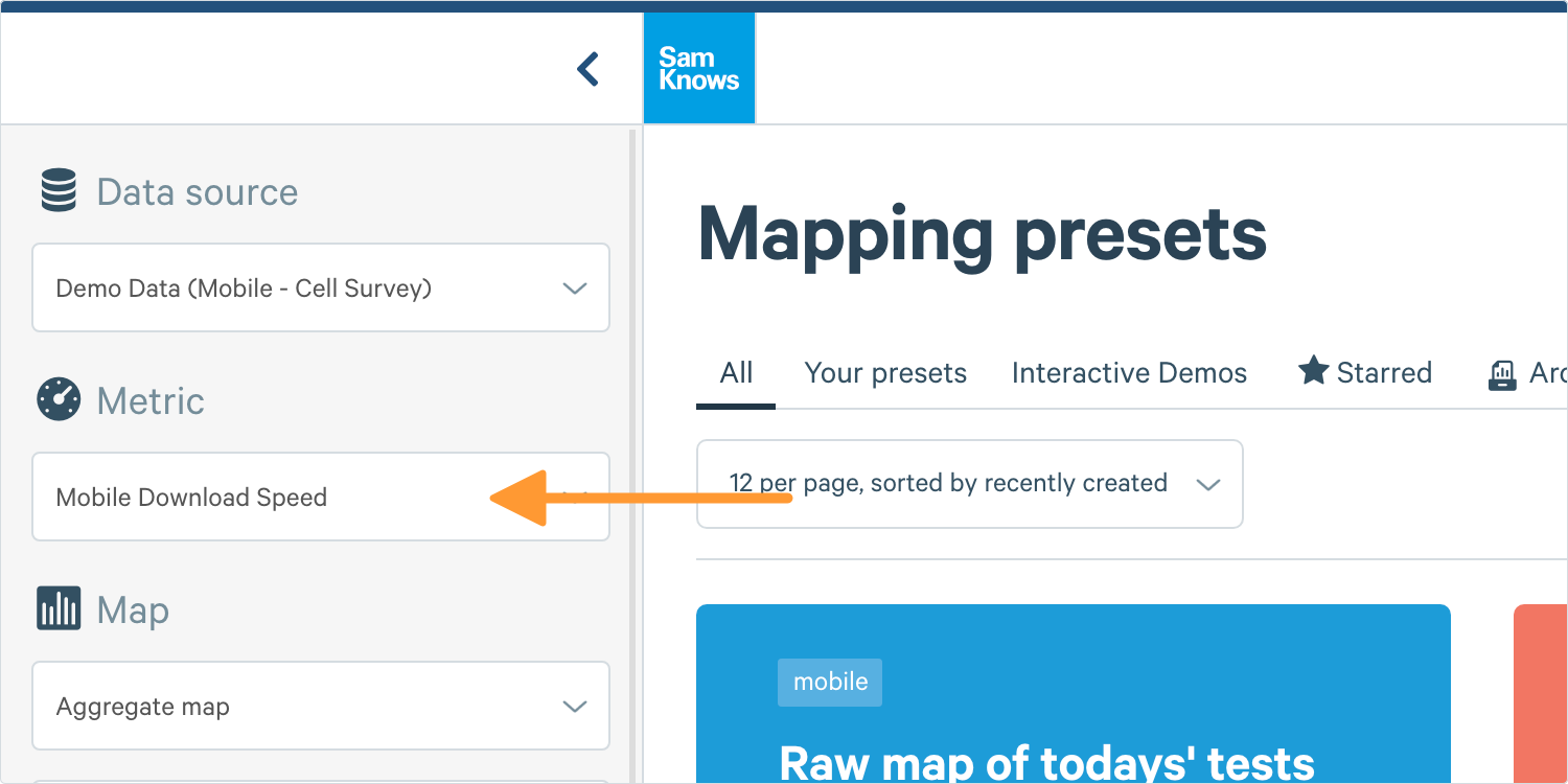
3. Next, select your metric from the dropdown. You will see all of your subscribed metrics for all of the tests that are assigned to test schedules on your platform. Let's leave Download selected for now.
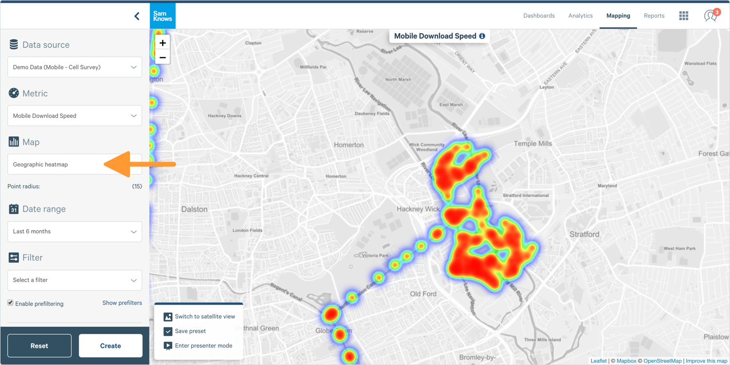
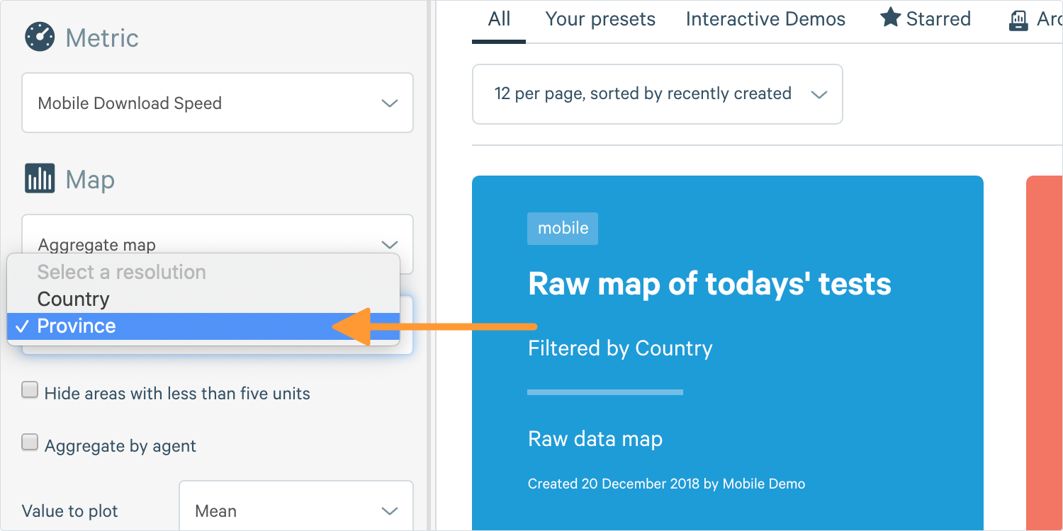
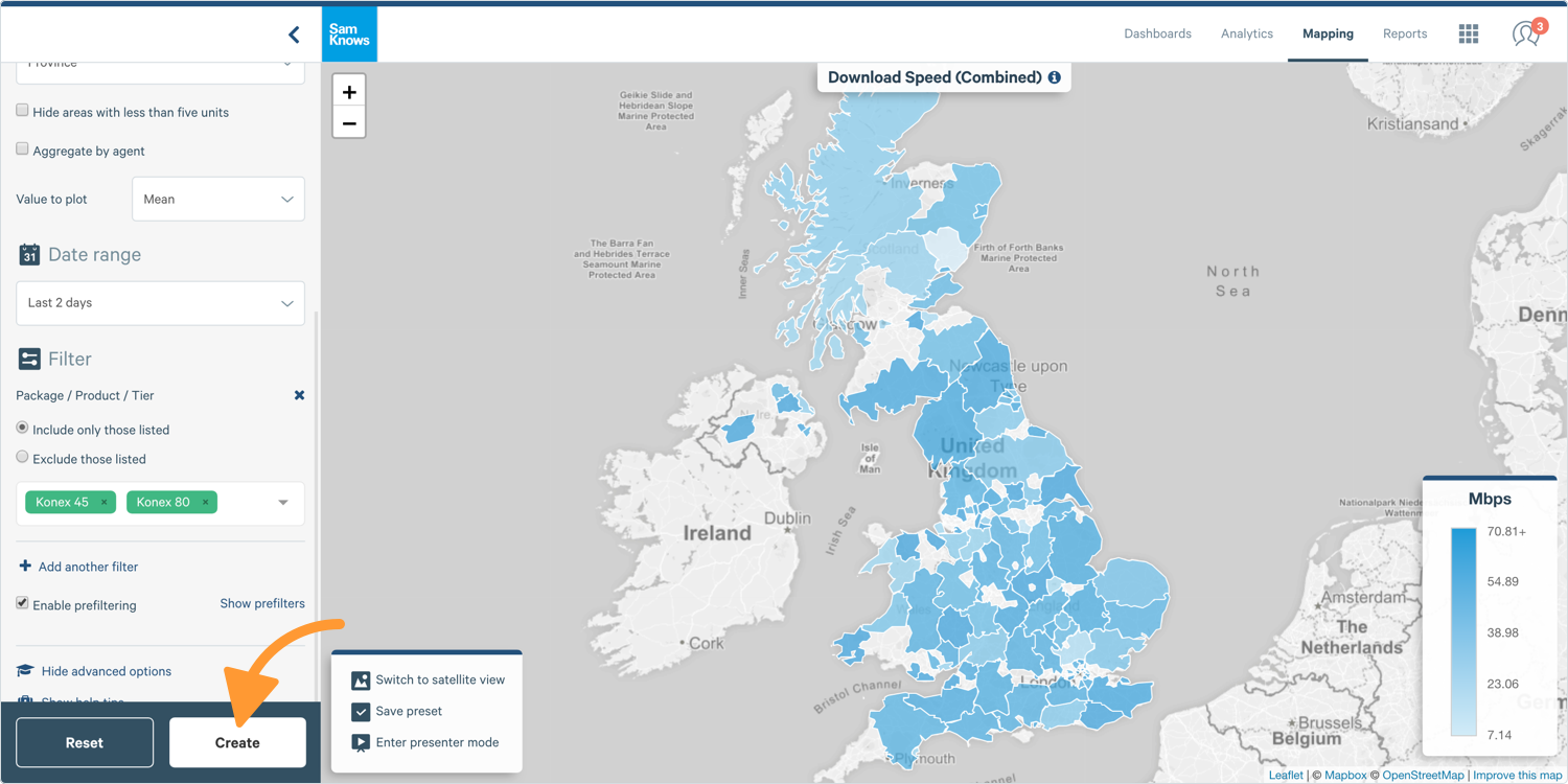
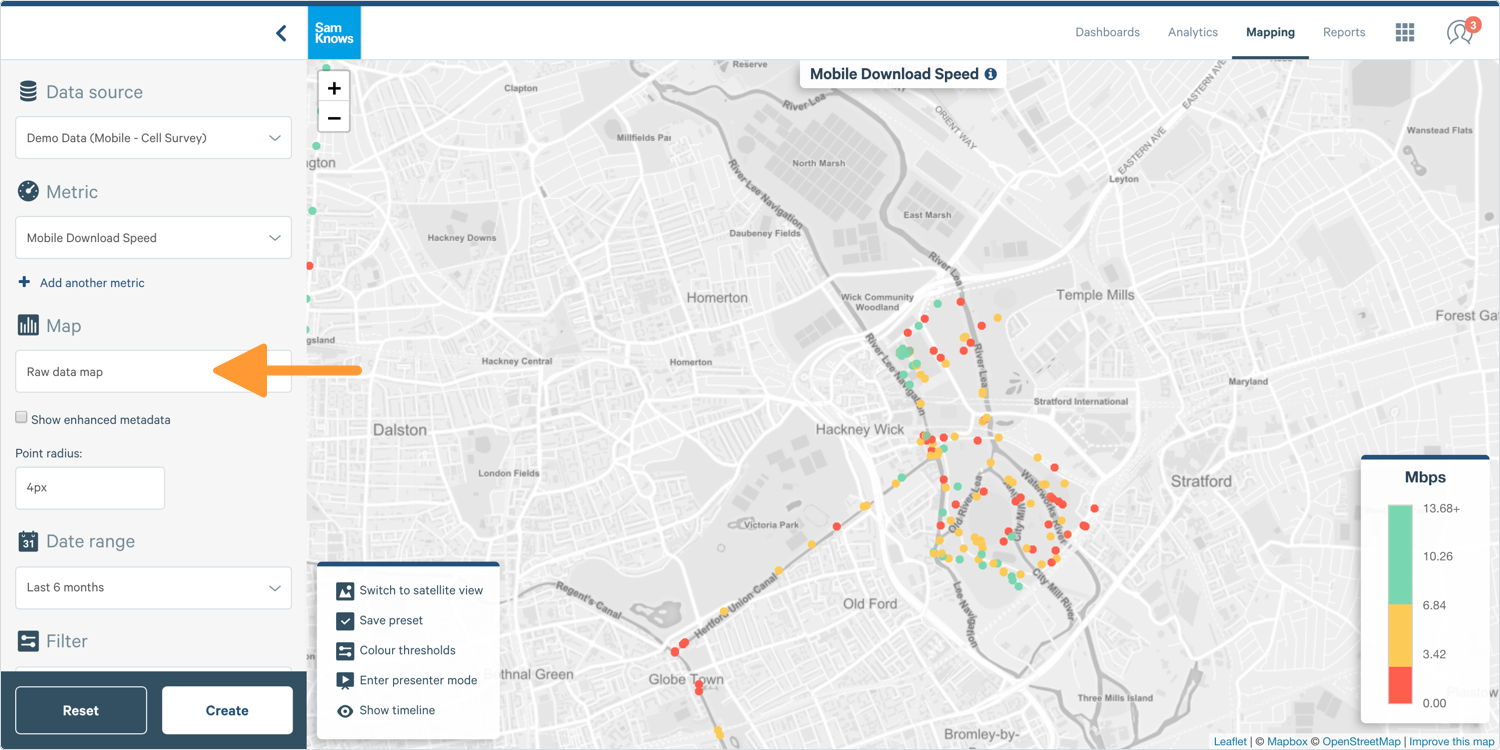
4. Next, you need to select your map type. Aggregate Maps show the average of pre-defined areas; Raw Maps show a colour coded point for every test; and Geographic Heatmaps show you a map of where tests took place.
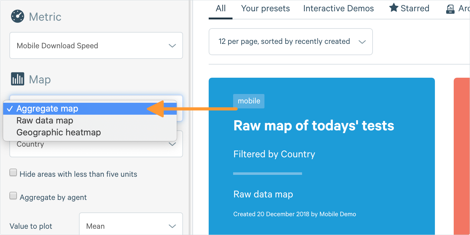
If you select Aggregate Map, you’ll need to select the resolution that you want to aggregate by: Country or Province. Province changes meaning depending on the country and refers to the geographic grouping in the region one level below country.
Tip: For countries with states, such as the USA, Canada, and Saudi Arabia, "province" refers to state. For countries with counties, such as the UK and Norway, "province" refers to county.
5. Next, select a Date Range. You can choose one of the pre-defined options or customise your date range. Let's select the Last 2 Days for now.
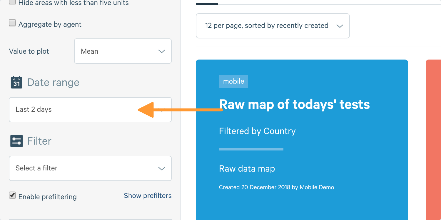
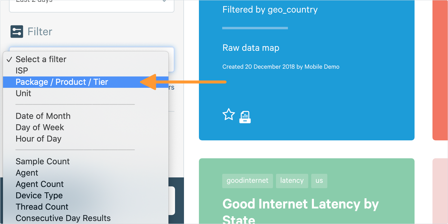
6. Finally, select your Filters to restrict the data displayed on your chart.
For example, we have only selected two packages here: Konex 80 and Konex 40.
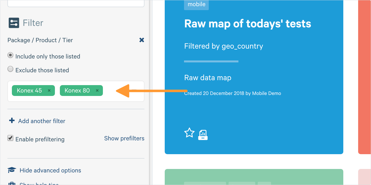
Tip: You can use filters to only include specific things, or exclude them. For example, you can say 'show me all the packages except for Konex 45' or, 'just show me Konex 45'. This can be useful if you want to exclude a test server, for example.
7. Click Create and your map will load on the right.
Raw data map (only available if Mobile - Cell Survey is selected as the data source).
Geographic heatmap (only available if Mobile - Cell Survey is selected as the data source).